CIDSA LMSDrone Technology & Aerial Imaging Lab
Drone Technology & Aerial Imaging Lab
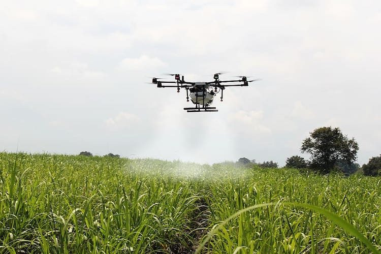
Reality Capture and Digitilization with Drones for Smart Agriculture Drone piloting training, aerial survey techniques, and UAV-based agricultural monitoring and spraying systems.
8 Courses
60-180 Hours
Certificate
8 courses
3 hours
Introduction to Drone Technology
4.8
View Course3 hours
Multispectral and Hyperspectral Imaging Using Satellite and Drone
4.8
View CourseDrone Flight Planning and Simulation
4.8
View CourseGlobal Positioning System
4.8
View CourseGeographical Information System
4.8
View CourseBasic Introduction to EARDAS Imagine software
4.8
View CourseIntroduction to Topographic map
4.8
View CourseDigital Terrain Mapping
4.8
View Course