CIDSA LMSGeospatial Intelligence & Remote Sensing Lab
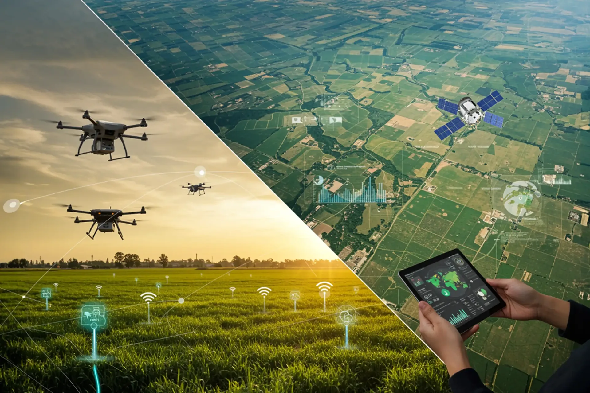
Geospatial Intelligence & Remote Sensing Lab
Location-based data analysis, satellite imagery processing, and GIS mapping for informed farming decisions.
9 Courses
60-180 Hours
Certificate
9 courses
Foundations of Geography
4.8
View CourseIntroduction to GIS
4.8
View CourseSpatial Data Collection & GPS
4.8
View CourseRemote Sensing for Agriculture
4.8
View CourseSoil Spatial Analysis
4.8
View CourseTerrain Analysis & Hydrology
4.8
View CoursePrecision Agriculture Applications
4.8
View CourseGIS Data Analysis & Geostatistics
4.8
View CourseWeb GIS & Digital Farm Management
4.8
View Course